UN
9 The Batch
£ 359,950
Description
We don't have a Description for this property.
- Bedrooms
- 3
- Bathrooms
- 0


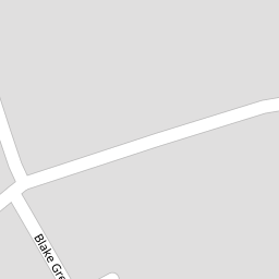
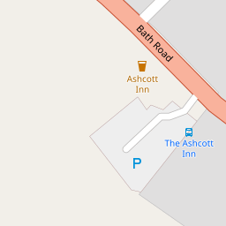


Leaflet © OpenStreetMap contributors
The heatmap indicates the level of crime in the area. The color of the heatmap indicates the crime severity and recency.
Metrics Year-on-Year
- Average area value
- 243,652.00 £Decreased by 23.31 %
- Average area rental value
- 830.00 £/moIncreased by 19.42 %
- Est rental Yield
- 4.09 %Increased by 56.11 %
- Crime Rate
- 87.00 %Unchanged by 0.00 %
from 317,727.00 £
from 695.00 £/mo
from 2.62 %
from 87.00 %
Nearby Schools
| Name | Type | Ofsted | Distance |
|---|---|---|---|
| Ashcott Primary School | Community School | Good | 0.34 KM |
| The Levels School | Other Independent Special School | 0.48 KM | |
| Walton Church Of England Voluntary Controlled Primary School | Voluntary Controlled School | Outstanding | 4.51 KM |
| Abbot'S Way School | Other Independent Special School | 5.26 KM | |
| Meare Village Primary School | Community School | Outstanding | 5.65 KM |
Images
Nearby Streets
| Name | Average Price | Average Sqft | Distance |
|---|---|---|---|
| Middle Street | £ 475,000 | 0 | 0.00 KM |
| School Hill | £ 300,000 | 0 | 0.00 KM |
| Chestnut Lane | £ 0 | 0 | 0.00 KM |
| Glebeland Close | £ 0 | 0 | 0.00 KM |
| Whitley Road | £ 0 | 0 | 0.00 KM |
Nearby Listings
| Address | Price | Type | Score | Distance |
|---|---|---|---|---|
| The Batch, Ashcott, TA7 | £ 425,000 | BUY | 7 / 10 | 0.07 KM |
| Ashcott, Somerset | £ 565,000 | BUY | 7 / 10 | 0.08 KM |
| The Batch, Ashcott, Bridgwater, Somerset, TA7 | £ 375,000 | BUY | 6 / 10 | 0.08 KM |
| Bath Road, Ashcott, Bridgwater, Somerset, TA7 | £ 450,000 | BUY | 6 / 10 | 0.12 KM |
| High Street, Ashcott | £ 415,000 | BUY | 6 / 10 | 0.13 KM |
Nearby Properties
| Address | Price | Distance |
|---|---|---|
| 9 The Batch | £ 359,950 | 0.00 KM |
| 12 The Batch | £ 280,000 | 0.01 KM |
| 4c High Street | £ 292,000 | 0.09 KM |
| 15 High Street | £ 213,000 | 0.09 KM |
| Ashcroft | £ 235,000 | 0.09 KM |